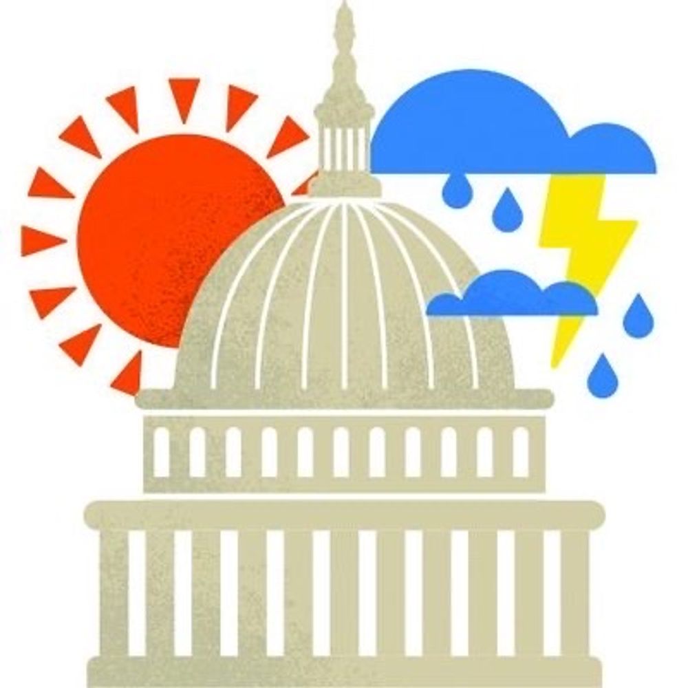
CWG Live: Cool morning to milder late day, then warmer through midweek
Scattered showers or a storm possible this evening. More showers may be around Sunday.
Another cool and foggy start many spots. It'll be a slow transition today, especially north, but milder air will make inroads over time.
Showers and a storm possible this evening. Some could have strong gusts.
Warmer through midweek.
Full forecast: www.washingtonpost.com/weather/2026...
07.03.2026 11:51
👍 19
🔁 5
💬 0
📌 0

Once this cool air clears, several legitimately warm days arrive. Early to mid- next week could run 20-30 degrees above normal, maybe near 80 for highs.
A front ends it Thursday.
The week after, a sharp cooldown hits: highs 30s-40s possible, lows in the 20s. Winter’s not done yet.
06.03.2026 21:25
👍 42
🔁 12
💬 3
📌 6

Backdoor front busts the warmup 🌡️⬇️
A week ago, most computer models were forecasting highs near 70 Thurs + above 70 today. Instead, highs failed to reach 60 Thurs & may struggle to hit 50 today.
What happened?
A weak “backdoor cold front” slipped in from the north and stalled.
Read more at cwg.live
06.03.2026 19:54
👍 29
🔁 4
💬 6
📌 0

CWG Live: Cooler today before warmth builds into next week
Chances rise this weekend for 60s and 70s everywhere.
Cool air rules today. A couple showers moving through from west to east this morning. Highs not far from 50 around the Beltway.
Warmer air makes another try tomorrow and it will finally take over for several days heading into next week.
Full forecast: www.washingtonpost.com/weather/2026...
06.03.2026 11:58
👍 39
🔁 7
💬 0
📌 0

8:50p: Band of thunderstorms approaching DC area from the west, set to track east across the area now through about midnight.
Models suggest it’s possible, but not definite, that the southern portion of the line (that would impact areas south of the Beltway) may diminish as it gets closer.
06.03.2026 01:54
👍 42
🔁 4
💬 2
📌 7
7:15p: Radar shows showers moving through the next few hours. They are mainly north of DC for now, but there is some activity off to the west that could come through more of the Beltway area later this evening. A few rumbles of thunder possible as well.
06.03.2026 00:17
👍 26
🔁 6
💬 0
📌 0
Full forecast, cherry blossom forecast, and more: www.washingtonpost.com/weather/2026...
05.03.2026 21:32
👍 4
🔁 2
💬 0
📌 0

A disturbance in the atmosphere Thursday evening will produce some showers and could spark some t'storms, mainly between 6pm and 1am. If there is thunder, it could be quite loud due to a temperatures inversion (warm air over cool air) which traps sound waves near the ground, making them louder.
05.03.2026 21:32
👍 61
🔁 11
💬 4
📌 1


Friday’s temp spread could be 30-35 degrees across the broader region. We’re in the awkward middle.
Mid-50s maybe it for highs, even possible into 40s late day.
Saturday’s warm push could also get smacked down a bit by stubborn cool wedge. Warm eventually wins… for how long?
cwg.live for more
05.03.2026 20:09
👍 19
🔁 3
💬 1
📌 1

🌸 JUST IN: National Park Service released its cherry blossom peak bloom forecast: March 29 to Apr 1
That is several days earlier than CWG's prediction of April 3 to 7.
Two local TV weather teams have also weighed in. Their forecasts — along with ours — are summarized in the graphic below.
05.03.2026 16:50
👍 60
🔁 18
💬 2
📌 4

CWG Live: Warmer today and into the weekend, but cool air questions remain
Today and tomorrow feature a battle between 70s south and 50s north. By Saturday, the whole area should make the 70s.
Dense fog advisory through 10 am with visibilities 1/8 to 1/4 mile much of the area and locally lower. Take it slow until it lifts.
Should be some breaks of sun later with highs near 60 to the mid-60s and perhaps warmer south.
Full forecast: www.washingtonpost.com/weather/2026...
05.03.2026 11:54
👍 38
🔁 6
💬 0
📌 1

Dense fog advisory tonight into tomorrow morning west of I-95. Take it slow!
05.03.2026 02:29
👍 31
🔁 1
💬 0
📌 1

Precipitation vs normal on the European weather model shows drier than normal around much of the Mid-Atlantic.
Despite some recent rain, the region is still locked in severe drought -- about 5" behind on the water year (since Oct. 1).
More showers are on the way ahead, but the big, mood-changing soakers seem ready to stay to our west. No quick fix ahead.
Details at cwg.live.
04.03.2026 21:26
👍 45
🔁 9
💬 2
📌 0
Link to our full forecast: www.washingtonpost.com/weather/2026...
04.03.2026 19:11
👍 5
🔁 1
💬 0
📌 0

Friday remains a tough temperature forecast for the DC area due to the uncertain location of a front.
Model forecasts for Friday aftn range from the 40s to 70s. Typically the reality is somewhere in between, but often toward the cooler side.
For now we lean toward Friday highs in the 50s and 60s.
04.03.2026 19:09
👍 38
🔁 6
💬 1
📌 0

Analysis | It’s been so cold that cherry blossom peak may push to latest date in years
Capital Weather Gang predicts peak bloom of D.C.’s famed Yoshino trees between April 3 and 7.
Our cherry blossom peak bloom forecast is out!
We're calling for the blossoms to reach their peak April 3-7 -- the latest peak since at least 2018.
The cool weather has slowed down the beginning of the bud cycle.
Read our full blossom forecast at this link: www.washingtonpost.com/weather/2026...
04.03.2026 14:53
👍 66
🔁 14
💬 0
📌 6

We're tantalizingly close to spring warmth, but clouds & some showers hold us back today w/ highs upper 40s to mid-50s.
What's next?
*More showers possible this evening
*Another step warmer tomorrow
*70s possible by Fri or Sat
*Skies brighten at times starting tomorrow
*Yet shower chances persist
04.03.2026 11:00
👍 66
🔁 6
💬 1
📌 1

A amazing photo of the Blood Moon -Etheral Earth -facebook @capitalweather.bsky.social @nws.noaa.gov @davenussbaum.bsky.social @wbrc.com @spann.bsky.social
03.03.2026 23:39
👍 109
🔁 20
💬 1
📌 0

Big warm-up ahead: some 70s likely, maybe near 80 by Saturday.
Thu-Fri still tricky with cool air lurking nearby to the northeast -- could mean 50s northern MD, 60s/70s south of the Potomac. By Saturday, warmth should overspread the whole area.
Details and updated forecast at cwg.live
03.03.2026 20:47
👍 47
🔁 7
💬 2
📌 6

The good news: The steady rain is done for now. And temps are above freezing most places.
The bad news: It's dismally raw, misty and more rain is coming tonight.
These temps are no fun...
Updated forecast: www.washingtonpost.com/weather/2026...
03.03.2026 18:22
👍 35
🔁 2
💬 1
📌 1

Snow totals since Monday were modest: generally 0.5–1.5” around D.C., mainly on grass with little pavement impact. Reagan National: 0.8”, Dulles: 0.4”, BWI: 1.0”. Western Loudoun and near Winchester saw 2–3”. Seasonal total at National now 10.4” (still below the 12” norm).
Details at cwg.live
03.03.2026 15:06
👍 25
🔁 3
💬 0
📌 0
9:05am: This continues to be an uneventful morning as far as iciness is concerned, even in DC's N&W suburbs. Temps now mostly 32-34 and rising. Light showers continue at times through the morning, becoming more spotty in the afternoon, before a steadier rain around 5pm into this evening.
03.03.2026 14:08
👍 33
🔁 1
💬 1
📌 0

6:45am Tues: Light rain falling across DC region. Air temps below freezing N/W of the white dashed line. But road temps at or above freezing. Some reports of a glaze on sidewalks, driveways & cars N of Beltway, but roads just wet.
Do watch out for some icy spots here and there on ramps and bridges.
03.03.2026 11:51
👍 37
🔁 4
💬 0
📌 1
Folks N&W, let us know if you have any iciness on your steps, sidewalks, side streets?
03.03.2026 11:10
👍 12
🔁 1
💬 5
📌 0