frankly though R is already pretty gay 🌈
26.02.2026 21:44
👍 8
🔁 3
💬 0
📌 0

@northernmaps
(He/Him) I am a GIS Specialist, working from Happy Valley-Goose Bay. I love maps, cartography and cool data visualisations. Currently finishing a PhD with MUNL on the historic landscape of the Exploits River Valley.
frankly though R is already pretty gay 🌈
QGIS 4 is coming out soon, and I'm super excited!
Also, this is really helpful:
hub.qgis.org

🌈 The website for the inaugural rainbowR conference is now live! 🎉
🗓️ Save the date: Feb 25th-26th, 2026
📣 Call for submissions is open
👯 We're bringing together LGBTQ+ R users to promote our work and foster connections among community members
conference.rainbowr.org

Do you teach #rstats? Do your students complain about how lame and old-fashioned dplyr is? Don't worry: I have the solution for you: github.com/hadley/genzp....
genzplyr is dplyr, but bussin fr fr no cap.

🌈 rainbowR meet-up: Wednesday August 27th, 4pm UTC 🌈
- connect with other LGBTQ+ people who code in #RStats 🏳️🌈
- ask questions about R 🙋
- tell us about an R package you like 📦
- show us something R-related you’ve been working on 💻
➡️ Registration via rainbowr.org/meetups

A distribution map of the known archaeological sites on the island of Newfoundland. It shows how archaeological research has focused on the heavily populated coast, away from the boreal interior.
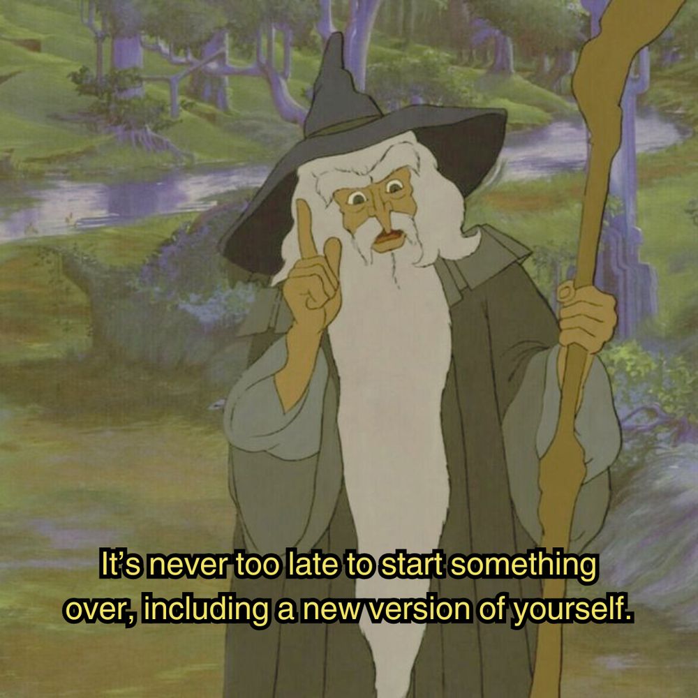
a scene in the animated lord of the rings movie. Gandalf the grey is standing in a lush green forest, wearing grey robes, and a blue pointy wizard's hat while wielding a staff. He's pointing up as if to think of something, and the image is captioned "It's never too late to start something over, including a new version of yourself."
Good morning✌️🍀

A Relative Elevation map for the Churchill River. This is interesting because it shows how the river runs through a rugged area between two different relatively low areas, while going from the Smallwood Reservoir to the shores of Lake Melville.
#Labrador #HVGB #qgis #maps #REM
The healthiest thing we can do for the internet is get as many regular users as possible running their own websites. You could buy a domain and such, but a super easy starting point is to get a free subdomain of neocities.org, which is like geocities but existing now.

A Tanaka map of the topography around Hopedale, Nunatsiavut, Labrador.
data: NRCAN- NTS
#qgis #maps #topography #visualisation #3d #gis #Nunatsiavut #Labrador
We're proud to announce that #Finland just launched theit new Topographic Data System built on #QGIS
https://positio-magazine.eu/2025/06/finland-launches-modern-topographic-data-system-built-on-open-source-qgis/
#osgeo #gischat #gis #OpenSource

Another Photo of Hopedale, Nunatsiavut, Labrador, from a few years ago.
#drones #Hopedale #Nunatsiavut #geospatial

Cape Spear, Newfoundland
#drones #NL #geospatial
This was a wonderful event!

The American Army Base in Hopedale, Nunatsiavut, Labrador
#drones #geospatial #heritage #hopedale #labrador

A joy plot view of Hopedale, Nunatsiavut, Labrador. With data from the Canadian MRDEM.

The watercourses of Newfoundland
with data from NRCAN and the NTS
#gis #qgis #spatial #rivers #maps

The Rivers of Labrador. It's pretty thick with them.
Data from the NTS
#maps #Labrador #QGIS #spatial #gis #nrcan #nts

A map of the Hexagonal churches of England, prepared for the Month of Maps in 2024.
#England #churches #hexagons #gis #qgis #geospatial #maps

A map of the National Parks of Canada, with data from NRCAN and Natural Earth.
There is an amazing variation between the parks, in terms of their sizes and purposes.
#parks #canada #maps #geospatial #gis #qgis

A map of Hopedale, Nunatsiavut in Labrador, Canada.
Data from OSM and NRCAN
#osm #nationaltopographicsystem #nts #Hopedale #Nunatsiavut #gis #qgis #maps

The roads, trails, ferries and transport paths (and some boundaries) of Auckland, New Zealand in a lightening map.
#qgis #geospatial #osm #gis

A map of the Mexican Restaurants of North America, with data from OSM and Natural Earth.
Really, I made this because I miss burritos soo much.
#OSM
#QGIS
#NaturalEarth
#MexicanRestaurants

The watersheds of Labrador from NRCAN and Natural Earth data.

A map of Hopedale in Nunatsiavut.

A geological age map of Newfoundland and Labrador. The data used here came from the Department of Natural Resources NL, Natural Earth, and NRCAN
Data from NRCAN and Natural Earth!

A topographic relief map of Labrador.
First post! A topographic relief map of Labrador.