
bah le tweet a été supprimé ?
09.10.2025 11:23
👍 0
🔁 0
💬 1
📌 0
bah le tweet a été supprimé ?

[1/5] @sgascoin.bsky.social chercheur CNRS au CESBIO-OMP montre que le jour de déneigement a avancé d’environ 5 jours par décennie depuis 1986 dans les Alpes et les Pyrénées, jusqu’à 10 jours à certaines altitudes. Ce décalage menace l’équilibre des socio-écosystèmes montagnards. #geography
Very nice overview of the recent #GLOF in Pakistan by @sgascoin.bsky.social!
There is so much going on these days, it’s great that various people in the community manage to find time to document these events! Fingers crossed that nobody was harmed. www.cesbio.cnrs.fr/multitemp/ra...


It seems that a human early warning system saved many lives "One of the shepherds, Wasiyat Khan from Rawshan village, was near the glacier when he used his mobile phone to alert the community about the impending flood." tribune.com.pk/story/256303... Pictures from www.linkedin.com/posts/melain...

High resolution image from Google Earth (July 2017) shows the catchment of the lake that collapsed in 2025
Before collapsing, the glacial lake was rapidly growing fed by snow melt.
You're right.. It's obvious when looking at the images in 3D
Yes, I had the same thoughts. Some downstream lakes look a bit bigger and the reason why the debris flow started there is unclear to me as well..
@watershedlab.bsky.social @subfossilguy.bsky.social @davepetley.bsky.social any comment welcome..
My rapid analysis of the recent GLOF (?) in Gupis, Gilgit-Baltistan www.cesbio.cnrs.fr/multitemp/ra...

Five years in the making.. New study about the snow cover trends in the Alps and Pyrenees tc.copernicus.org/articles/19/...

I suspect someone may have already done this... I took the current NASA Earth fleet chart of operating and planned Earth observing missions and crossed out those recommended for cancellation in the President's budget request. It's disturbing.
Great work - thanks for sharing!

Map of the Lötschtal showing the area affected by the glacier collapse. Blue colors show lost elevation, red areas elevation gains. The two most notable areas are the collapsed peak of Kleines Nesthorn and the collapsed glacier which are shown in deep blue with elevation loss of up to 128m and 51m respectively. The material slid down the mountain in an approximately 400m wide path and accumulated in a 2,5km long area on the valley floor which is up to 32m thick. The newly formed lake above the village of Blatten is also drawn in. The Map text reads: Kleines Nesthorn and Birchgletscher collapse / Blatten im Lötschental (VS) On Wednesday, May 28th, a2025, the Birchgletscher glacier collapsed under the weight of rock and debris following the partial collapse of the Kleines Nesthorn. Approximately 10 million cubic meters of debris flowed into the valley, burying large parts of the villages of Blatten and Ried. The debris also blocked the Lonza River, forming a small lake that destroyed several more houses in Blatten. Analyis Using Oblique imagery collected and provided by swisstopo on May 30th, 2025, a photogrammetric DEM was created and compared to the swissALTI3D DEM. The following volume change was measured in the affected area: Above Volume (m³): 11.2 Mio Below Volume (m³): 10.1 Mio
I also derived a new elevation model from the aerial images, allowing me to visualize the elevation change in the affected areas.
The rocks and debris in the valley are locally up to 32m thick and I estimate the total displaced volume is about 11 million cubic meters. #Blatten

Which parts of the world have the snowiest forests? Check our new paper in Geophysical Research Letters and the accompanying online visualisation by Deschamps-Berger et al. agupubs.onlinelibrary.wiley.com/doi/10.1029/...
amazing

We have generated a Landsat-based dataset to characterize the snow melt-out date in the Pyrenees, Alps, and Greater Caucasus. Data and code available! www.nature.com/articles/s41... by Bayle et al.
Our carbon-intensive lifestyle has a strong impact on the Alps' water cycle and ecosystems. This review by Dumont et al. is a good starter for students and anyone interested in climate change impacts in the Alps. comptes-rendus.academie-sciences.fr/geoscience/a...

a greyscale satelitte image of Musk's data centre - with a bright red marker showing emissions from the many (I think about 30) fossil fuel combustion engines on site
Incredible satellite image of the 33 (!!!!) operational fossil fuel combustion engines at the site of Elon Musk's XAI data centre
“appalling that xAI would operate more than 30 methane gas turbines without any permits or any public oversight"
@selc.bsky.social
www.theguardian.com/technology/2...
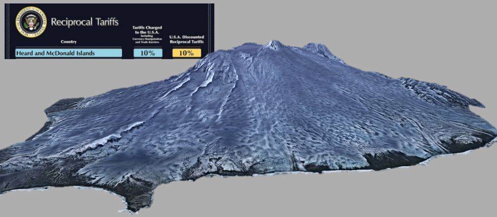
Bad news for Heard Island as the US imposes a 10% tariff on its main export - windborne glaciovolcanic tephra. This is viewed as a boost for local Alaskan and Cascadia sources.
Particularly serious implications for very fine grain sizes as the crypto(tephra) market is volatile at the best of times.

New Sinter seminar online!
Dr. Franz J. Meyer (University of Alaska Fairbanks): "NISAR Data at the Alaska Satellite Facility"
Dr. Shadi Oveisgharan (NASA JPL): "Retrieving Snow Water Equivalent Using InSAR in the Next Decade; Counting Down for NISAR"
youtu.be/-HA2eCHajzg?...
Why? here its a strike-slip earthquake, the scenes are not cloudy and S2 offers a better spatial resolution than S1 for horizontal offset tracking.

Sentinel-2 reveals the surface deformation after the 2025 #Myanmar #earthquake www.cesbio.cnrs.fr/multitemp/se...
Before/after satellite images show the displacement along the fault of the 2025 #Myanmar #earthquake #Sentinel2
RIP Coriolis force, Clausius–Clapeyron relation, bye bye fluid mechanics and thermodynamics.. rdcu.be/efNNg
J'ai modifié mon kit de démarrage destiné aux scientifiques francophones spécialistes du climat, de la biodiversité et de l'environnement en déplaçant les communicateurs et les institutions vers un autre kit.
Si vous pensez que je devrais vous inclure, faites-le moi savoir ! go.bsky.app/LjZgnPy
Conference season is near.
Dear fellow academics, first of all you shouldn't be flying anywhere for a conference, the climate crisis is real ffs.
Second, DO NOT GO TO THE US unless you are cool with being detained, harmed and potentially deported to Salvadoran prison camps.
So: DO NOT GO TO THE US.
@hagolleo.bsky.social "a petition signed by 1,683 Sentinel-2 users, urging ESA to extend Sentinel-2A’s operation"

In this study we show that a single satellite snow depth image significantly improves a snowpack model in a high alpine site (Zugspitze, Germany). This result is based on the evaluation of the simulated gravity signal against superconducting gravimeter measurements. doi.org/10.1029/2024...

So that's the beginning of the end for US Old Growth Forests then, prepare for massive biodiversity and carbon loss, here billed as the opposite www.whitehouse.gov/presidential... 🌎


