

WeTransfer TOS says they can use all your uploaded content for genAI
Bye forever, WeTransfer.
14.07.2025 23:57
👍 6944
🔁 3732
💬 211
📌 989
WeTransfer TOS says they can use all your uploaded content for genAI
Bye forever, WeTransfer.
You could just do everything in tabular land using array database tools.

Joris is going to give a talk about it next week at the GeoPython conference in Basel. If you go there, don’t miss it!
2025.geopython.net

The development was supported by @numfocus.bsky.social (small development grant for the #GeoPandas project). A lot of the credit goes to Joris Van den Bossche and @paleolimbot.bsky.social (through S2Geography). Also many thanks to the new contributors!
github.com/benbovy/sphe...
It still misses a lot of features but already provides all the basic functionality: IO functions (WKT, WKB, GeoArrow), most predicates / measurement / overlay operations as well as a few constructive operations... All exposed as vectorized functions.
spherely.readthedocs.io
Finally released Spherely 0.1.0!
If you are using Shapely with latitude / longitude data, you might want to try Spherely instead. It provides similar API but relies on spherical geometry (via S2Geometry).
🧵
I also did `pixi global install micromamba`, because why not?
I still find the "conda workflow" (explicit environments + manual activation) relevant for some of my uses cases.

I use Jupyter a lot for testing, prototyping, etc., and #pixi-kernel works pretty nice!
github.com/renan-r-sant...

Also managed to easily discover and run tasks in emacs, using `pixi task list --json` with github.com/mohkale/comp...

I started using #pixi for some projects that I maintain and also through `pixi global` (it might replace homebrew at some point for me). I must say it's a breeze! Great work @prefix.dev !
github.com/fastscape-le...
It leverages Xarray indexes so the CRS information is propagated seamlessly through operations and is used for auto-alignment of Xarray objects.
It also provides some mechanisms to integrate it with other Xarray extensions (TBD).
2/2

Released xproj: a small, generic (and experimental) #xarray extension to manage the coordinate reference system(s) of geospatial data cubes.
github.com/benbovy/xproj
1/2
This blog post by @kylebarron.dev nicely fills a (frustrating, in my experience) gap between high-level descriptions vs. raw code implementations when trying to have a deep understanding on how spatial indexes work!

Spatial indexes, and RTrees specifically, are at the core of geospatial software.
But ever wondered how an RTree is actually implemented?
In this post we’ll dive into the implementation of Flatbush, an elegant, blazing-fast, memory-efficient RTree.
kylebarron.dev/literate-fla...
👋 @echarles.net
📣 Hiring! I am looking for PhD/postdoc candidates to work on foundation models for science at @ULiege, with a special focus on weather and climate systems. 🌏 Three positions are open around deep learning, physics-informed FMs and inverse problems with FMs.
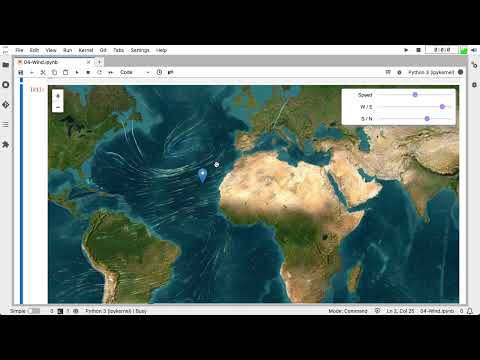
Re-posting an old(ish) one: wind synthesized and modulated by ERA5 data in #jupyter (best with headphones 🎧 - the generated wind audio is spatialized)
m.youtube.com/watch?v=8u5A...
💯 Very much like relying more and more on GPS and has slowly eroded our ability to navigate ourselves...
Nice! We should provide similar s2 cell utility functions in Spherely as well to allow such things! 🙂
New #gischat post! This one following up as a practical Ibis/ @duckdb.org-powered exploration into a few of the spatial partitioning methods suggested in a recent GeoParquet discussion. Let me know what I missed! dewey.dunnington.ca/post/2024/pa...
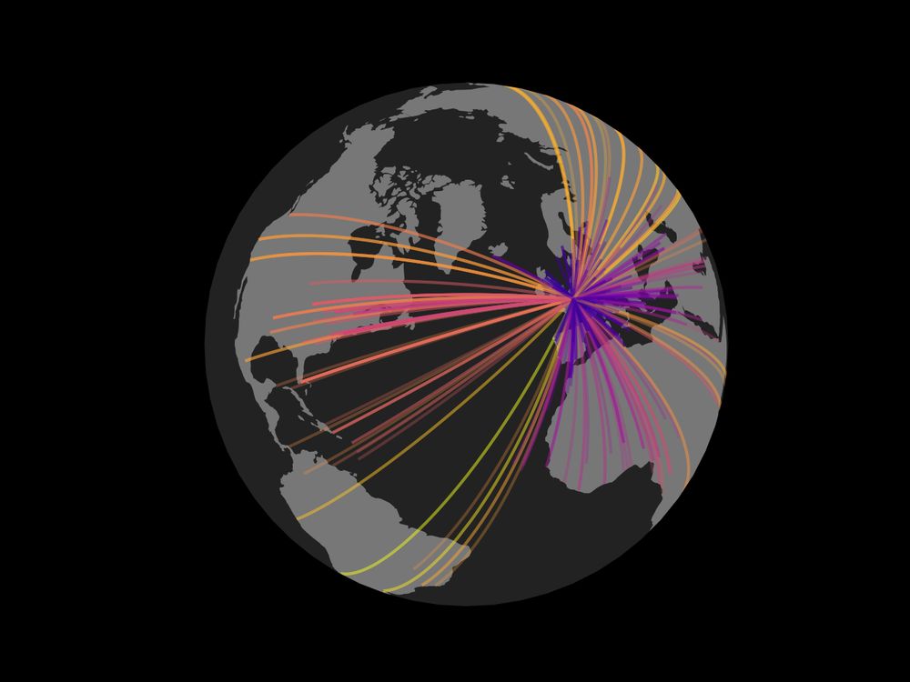
How do deformation, erosion, and precipitation interact during orogenic growth? ⚒️
Find out in this new study led by Xiaoping Yuan where we used a 3-code coupling between #ASPECT, #FASTSCAPE, and #LFPM.
Article here: www.nature.com/articles/s41... 🧪
@natureportfolio.bsky.social @gfz.bsky.social
Amazing! It definitely deserves more views.
I suggest to settle all this with a paintball battle.
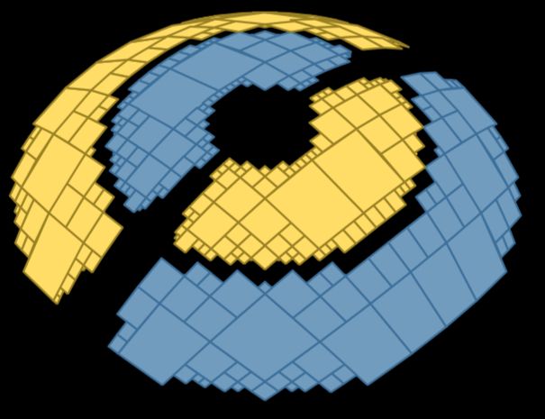
I might be wrong but Blender seems still heavily underused for scientific visualization. It has so much potential, and the example below illustrates it well!
Blender learning curve is pretty steep, though. That's the cost for such a powerful and flexible 3D modelling / rendering software I guess.
I have to admit I'm a big fan of @fabiocrameri.ch colormaps!
Hey Nikolay nice to see you here too and your beautiful sci-art animations!
I’m also new to Bluesky, is there a starter pack of colormap anarchists?

+1! We did that in Xdggs (Xarray extension for DGGS)
github.com/xarray-contr...
I enjoyed watching this video!
The title of the video makes me realize I loved "playing" at Flight Simulator not so much I dreamed being a pilot as I love exploring maps.
🙂
