Teacher, robotics coach & occasional blogger. Optimist & incremental revolutionary. Introvert. Idealist. I enjoy audiobooks, long gravel rides, travel & coffee. Wabi-sabi proponent.
Want to learn about PostgreSQL? You are in the good place!
🔗 https://postgresqlhero.alexisbouchez.com
I am an advocate in the United States for infrastructure & transportation improvements which will save lives, for not just for the drivers of motor vehicles, but also the most vulnerable road users such as bicyclists, pedestrians and the disabled.
Bike to the Sea envisions a culture of care and respect for the Northern Strand Trail, the cities & towns & neighborhood it serves, & for the people of all ages & abilities who wish to use it for transportation, recreation, & joyful outdoor experiences.
🏳️🌈Super Voter ✅ Dot cheerleader 📣openspace, beach and Harbor advocate 🌅 Retired GIS professional🗺️ Winter in FL cuz it’s warm 😎but my heart is in Savin Hill 🌲⛰️
MD Forestry & Environmental Sciences | PhD in Earth Observation from space Remote Sensing & GIS | R&D @ INVA spa | Researcher @ IZSAM 🌍🛰🌲🌱🦊
Maps Made Easy. Design, build and publish maps digitally. Share interactive geospatial data with a single click.
We specialize in dark academia, gothic horror, and animal art. Our mediums are watercolor, charcoal, and graphite. We are open for commissions.
You can view our portfolio and visit our store using the link below.
https://linktr.ee/twocatsachinchilla
#rstats geospatial data analyst. GIS expert, of a sort. Sci-fi fan and would be writer. Black cat owner. Occasionally apocalyptical. Can't DM.
WORDS ARE QUICK AND WORDS ARE VAIN, THE SINGLE SURE AND FINAL ANSWER MUST BE PAIN. -Dan Simmons, Olympos
Lecturer and researcher with a passion for biodiversity, ecology, and spatial data analysis. Committed to open science and open-source solutions, especially in the geospatial realm.
A pioneer in scholarly, open access publishing, MDPI has supported academic communities since 1996.
Original resistance account for the NOAA. Not official account of NOAA but close enough we can forecast them.
Weather geek. Boat driver. Former airman. Weekend redneck. Coffee: black. Kinda Grumpy. Go Walz! 🌮
Mission: Foster the growth of a vibrant open geospatial community in Oceania (and beyond).
Bluesky feed for the Geographic Data Science Lab at the University of Liverpool.
https://www.liverpool.ac.uk/geographic-data-science/
📍 UK
💚 She/her
🗺️ Fantasy Mapmaker
📝 Solo RPG Maker, Player and Enthusiast
✍🏼 All art I post is made by me, a human. No room for AI here.
🚫 No DMs please (I cannot access them)
https://ap-cartography.carrd.co/
British Cartographer & Artist living in Huntsville, Alabama.
Map maker & GIS consultant.
Including hand-drawn plausible fictitious maps
https://artimaps.com/
GeoMeetup Organizer and author of Python for ArcGIS Pro
Geographer, cartographer & developer for the open science in archaeology. PhD candidate in digital prehistory (is that a thing?).
I run 🌍 https://Mapstodon.Space 🌍 , the Mastodon instance for the map mob.
[ fr — en — es ] • https://mapper.fr
geospatial data | project management
GeoNetwork is a catalog application to manage open as well as spatially referenced resources. It is used in numerous Open Data and Spatial Data Infrastructure initiatives across the world.
A mapish developer working at GeoCat. Active with the OSGeo and LocationTech communities working on a wide range of free and open source geospatial goodness!
For over 15 years we have helped millions easily create maps. Make maps for free at scribblemaps.com
Cartographer. Map of the Week - https://mapoftheweek.substack.com . Fake singer songwriter (now on Spotify, Apple, Amazon and others) https://doug-greenfield.pixpa.com
Open Source GIS developer and co-founder of Sourcepole 🇨🇭.
#rust programmer, #paragliding, #railway tours.
Creative data artist in the spatial industry.
💼 Co-lead data & visualizations @spiegel.de
🗺️ Blogging about maps at letsmakeamap.com
#dataviz #ddj #maps #rstats
DrPH student @ Johns Hopkins BSPH •
geospatial epidemiology, health geography, and infectious disease • opinions are mine alone
Social Work Professor | Data Viz & Map Designer | Tableau Visionary & Ambassador | husband/father | perpetual student | he/him/his | no AI used
🛰️🗺️👩🏻💻co-founder @thrivegeo.bsky.social & @geospatialwomen.bsky.social | 📚 closing the skills gap in #geospatial data literacy | #EarthEngine GDE | #earthobservation #EdTech #upskilling
@data.ft.com Senior Visual Journalist. Mad about cartography, dataviz and F1! Check out my QGIS youtube channel at http://bit.ly/1MAR2Po
Follow me on Instagram
@stevendbernard
earthbytelab.com
Founder & CEO @sasgeo.bsky.social
#geospatial #remotesensing #earthobservation #datascience #earthengine
Demographics | Geospatial | Data Science | Open Source
Spatial Data Scientist • Artist • Economist | #ClimateRisk #Dataviz #Maps #DigitalArt #3D in London | X: Julian_H0ffmann
Portfolio: https://www.julian-hoffmann-anton.com/
Academic: Professor at RMIT University, GIScience, spatial algorithms, AI, and databases, ontologies http://gkl.rmit.melbourne
Author: GIS 3e http://gisacp.duckham.org
Me: gender equity, wheelchair user, food, new music
Geo tech consultant for conservation/ecology. PostGIS, Mapbox, Typescript, React, NestJs, QGIS, DuckDb, AWS/GCP, D3, Angular. Sr Software Engineer
@zevross
Geospatial Data Scientist & Podcaster
I’m curious about the modern mapping & satellite imagery world
Podcast: https://www.mindsbehindmaps.com
Videos about maps: https://youtube.com/@maxlenormand
GIS Geek • Cartographer working in the post wildfire landscape.
Graphics Reporter with The Wall Street Journal
on Lenni-Lenape land
a cobra vai fumar
https://churchillgeo.com/
Full-time cartographer, part-time menace.
🇨🇺Se habla espanglish
Geospatial Data Engineer/Scientist Phd, Technologist, Photographer doing Open Source, Open Data, Open Science. @developmentseed.org
GIS, Interactive & Printed Trail Maps, Data Books, Trip Planners, Snow, Wildfires, Gear Lists, Open Source, GDAL Evangelist. https://www.postholer.com, https://cloudnativemaps.com, https://femafhz.com
👨💼 Founding Engineer @ Zipline AI
🛠️ Creator of LayerChart and Svelte UX
👨💻 Fullstack dev w/ Frontend & DataViz specialties
💾 Network/Systems engineer in a prior life
Performance cartographer, experimental filmmaker, software engineer; reader & writer, eater & drinker. A Synesthete's Atlas is my maps-as-expanded-cinema project, collaborating w/improvising musicians.
https://linktr.ee/erictheise
geo. space. tech. geopolitics.
My name is Roman. Interests: Traveling, History, Economy, Languages (🇩🇪🇬🇧🇺🇲🇳🇱🇵🇱🇨🇳) and I make free map based geography learning games.
📍Frankfurt, Dortmund, Enschede, Cheltenham, Katowice, Jingdezhen
🗺️😎: https://geographyquiz.app/
Official AGU: supporting 500k+ Earth & space science advocates.
🌏 🚀 🔬
Save the Date for #AGU26 in San Francisco, CA, 7-11 December, 2026.
Remote Sensing expert @planetlabs #forest🌳 #LUC #carbon #supplychain | Geospatial Rising Star 2022 | @GoogleDeveloperExpert #EarthEngine, co-founder of geoinclusion and member of @rsategroup #earthobservation #Amazon #Cerrado
👩🏻💻🗺☀️she/her | geospatial data analysis, nature-positive science, and cartography at Conservation International | Tar Heel 💙 🐏 | views my own
Cartographer at NatGeo | past Board member @ NACIS
geographer | adventurer | Rhode Islander | she/her
🗺️ Maps for developers: Visual tools, global data, SDK & APIs for web, mobile, and enterprise applications.
A Map Evangelist
CartoGuophy.com
Geospatial Developer | Tech stack - Vue JS, Openlayers, Geemap, Python | Talk about #geospatial #gis #dataviz #earthengine #geopython #gischat #FOSS
part beagle and part disaster
Award-winning mapmaker and illustrator in Valencia, Spain | My first book THE BOROUGHS OF LONDON is now available! https://www.batsfordbooks.com/book/the-boroughs-of-london | More info: linktr.ee/thisismikehall
Researcher. Cities, urban morphology, human geography & spatial data science. Open source software developer. #python #cities #open_science
https://martinfleischmann.net
German #geographer and #demographer in #Melbourne. I love and share #maps and #data that explain how the #world works.
The Open Source Geospatial Foundation is a not-for-profit organization whose mission is to foster global adoption of open geospatial technology by being an […]
[bridged from https://fosstodon.org/@osgeo on the fediverse by https://fed.brid.gy/ ]
Geographer + accidental cartographer. Posting about geography, maps & more.
https://geoviews.net/
Obsessed with data graphics. I design high‑stakes charts.
Founder, Visionary Press • CHARTOGRAPHY weekly
Talks • workshops • consulting → infowetrust.com
Building https://openfreemap.org and http://maphub.net
Writing on http://blog.hyperknot.com
Loves paragliding
Founder & CEO @earthbytelab.bsky.social
#scientist #geospatial #remotesensing #earthobservation #mappingearth #googleearthengine
Geographer and geospatial technologist. Owner of Sand Hill Geographic and Board member of the American Geographical Society. KU PhD.
Geography/GIS educator FRCGS FRGS. Climate SLR. #Dal #SMU #QE2PlatMedal. Semple GeogEd Award. Apoplectic-adorable. Shot 67. Book addict (socialtechfuture) CBCIdeas. Sci-fi. Old movies. WHU COYI. Parkinsons sucks | michaeljfox.org | Mi’kma’ki (Nova Scotia)
Understanding and supporting people in their spatial interactions through computational #spatial #data #science #giscience #melbourne 🛶🚵♂️🥾🏊♂️🐕
@unimelb, own views. support 🇺🇦 www.tomko.org
Exploring the overlap of science, art, data and randomness.
Building geospatial software · data narratives · creative coding
In my previous life I was an archaeologist · GZ
Prof Geographic Information Science at the University of Liverpool; Author of Urban Analytics (https://amzn.to/2l5txth) https://mapstodon.space/@alexsingleton
Staff Engineer, open source fan, hacking on geospatial in my spare time. Lives in London
International Relations and History 📚 • Founder of The World in Maps • Here, I post maps and graphs about how the world works and how it once was 🌍📊
Data visualization consultant at the Development Data Group of the World Bank
www.maartenlambrechts.com
Researcher Ipea Brazil | Visiting prof @geo_uoft | PhD @TSUOxford | Structured procrastination on Cities, Urban mobility, Accessibility, Equity, Data science, R. About: www.urbandemographics.org/
GIS and cartography @EU_eurostat (previously @ignfrance.bsky.social), geographical information, maps, orienteering, bike, nature, Europe, Luxembourg, Marseille, Haut-Doubs
https://jgaffuri.github.io/
Runner. Coder. Database hacker. Accidental geographer. Perpetual novice. Chaotic neutral.
Bikes (MTB, gravel), Travel, Spain, Higher Education, Geospatial Technology, International Development, Mediterranean food/lifestyle. (Don't forget to use your sarcasm filter) --alguna que otra cosa bilingüe
🌏🛰️ #Earthobservation #remotesensing #geospatial #dronemapping | Co-founder She Maps and GeoNadir | Assoc/Prof JCU | she/her |🔗https://linktr.ee/drkjoyce
Senior Product Manager of Mapping & Cartography @ Esri. Previously @washingtonpost.com and National Geographic. Map-maker and geographer. https://linktr.ee/tierneymaps
Associate Professor @UTKnoxville | Amazon Scholar | Creator of #geemap & #leafmap | Talk about #Geospatial #GeoPython #DataViz #GIS #FOSS #EarthEngine
Media platform covering global conflict zones. Focus on the Ukraine-Russia war. Consider supporting us once via buymeacoffee.com/noelreports or by becoming a member via patreon.com/NOELREPORTS.
Director and Editor at Livingmaps Network (livingmaps.org.uk)
Pacifist, Environmentalist, Geographer
Sings with the Climate Choir- Dances to electro-beats
Loves Yoga
An experiential research & pedagogy studio for the history & art of the book at UIUC. We are housed in the CU Community FabLab & sponsored by the iSchool and English Department. Directed by @ryancordell.org
Postdoc @ Rutgers University 📍NJ
🌲🛰️🌎 Ecologist by day: remote sensing, biodiversity, ecosystem structure, geospatial Rstats + GIS
🥾🎨🥏 Mudpuppy by moonlight: outdoor educator/explorer, science illustrator, pun enthusiast, frisbee player/coach (she/her)
Studies West Virginia geography, history, culture, and recreation. Loves looking at maps, making maps, GIS, data, trees, and walking everywhere.
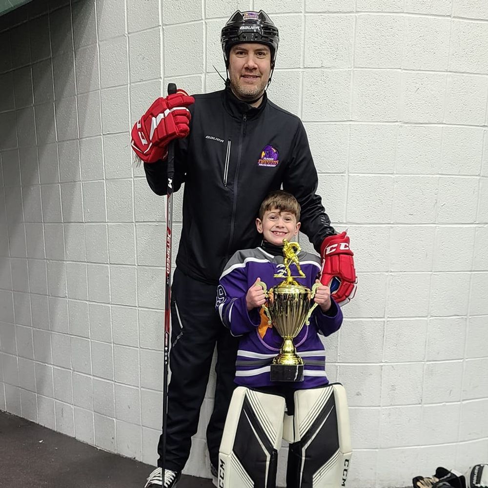
GIS Geek, Hockey Dad, Music Lover, and tortured cleveland sports fan
GIS, land records, dogs, golf, hiking, walking, some running, fan of all things golden ratio, science, and affirming the positive people
Geographer, Geospatial Professional, Tech Innovator, Amateur Meteorologist,
Severe Weather Enthusiast, Photographer, Amateur Radio, SWL, SIGINT, Intelligence Ops, Geo-Politics, UAVs, Jayhawk 4 life, Opinions = My Own
Assistant Professor of GeoIT @AaltoUniversity. Interested in advancing GIScience for sustainable development at https://gistlab.science #Open #Python #GIS author & educator: http://htenkanen.org/teaching
Belize GEO: Belize Group on Earth Observation & GIS. Shares SciComm re: EO, GIS relevant to Belize, the Caribbean, and other regions. Administered by a real live Belizean scientist.
Geo-geek & Entrepreneur & Writer.
https://www.linkedin.com/in/edgarbarreira
GIS and Maps
Formula 1 and Motorsport
Tanzanian (and African) politics.
In no particular order
Map Maker. Silly Place Name Aficionado
Geographer, developer, and video/board gamer.
Esri Performance Engineering. From Warwickshire, England. Mapper, photographer, explorer, and tech evangelist. The views expressed here are my own, and getting more cynical with age.
Remote Sensing, SAR, Forest Management, Smart Farming, Food Policy. Box fan.
GIS Analyst, map nerd and archeology enthusiast.
Too easily manipulated by my Weimaranar, GIS analyst, Raspberry Pi enthusiast, Dad. Finding my path back to Humboldt Co. "the trick was to surrender to the flow...."
Geospatial Dev @UofMaryland 🗺️👨🏻💻 (remote) #Python🐍 #Django #Go Romans 6:1 ✝️
GIS, FME, automation, photography.